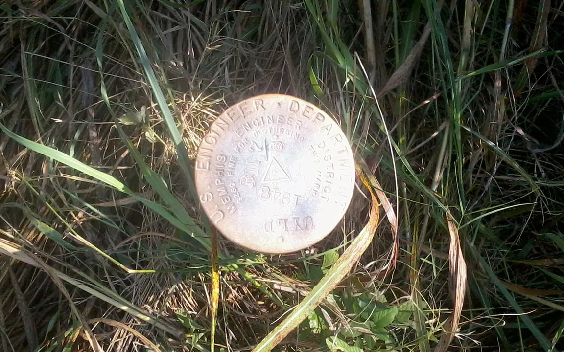
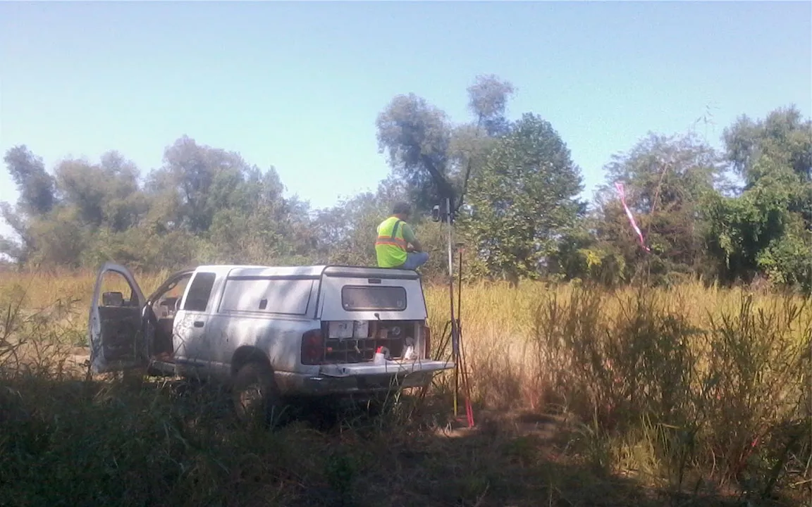
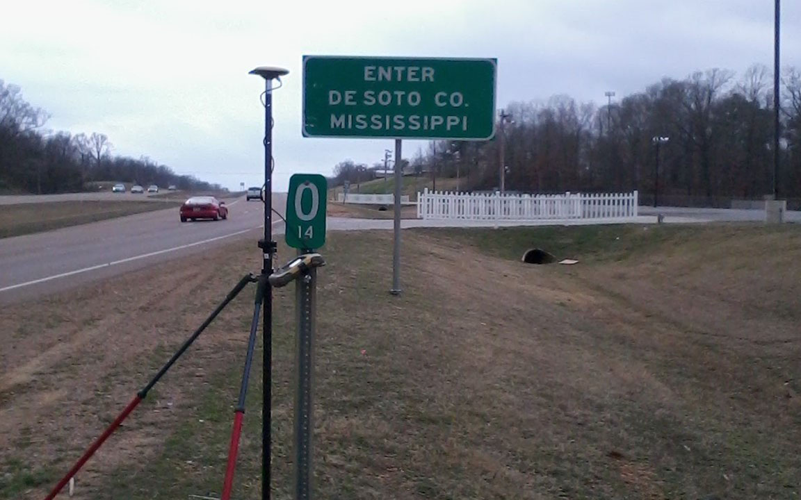
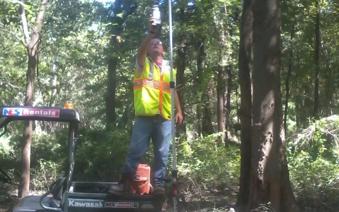
Fisher Arnold performed a large boundary survey for the NRCS Wetland Easement program, which included line staking and placing metal fence posts at regular intervals along the staked boundary line. Fisher Arnold surveyors used a combination of surveying methods to accomplish this boundary survey in less than ideal conditions, which included GPS real time kinematic equipment (RTK) and conventional total stations. Four wheelers were used for more efficient transportation during the survey, and representatives from NRCS were able to view the line effectively by the placement of metal fence posts placed along the property lines every 250’ to provide a witness to the adjoining land owners.